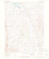
1965 Map of Parker
USGS Topo · Published 1973About this map
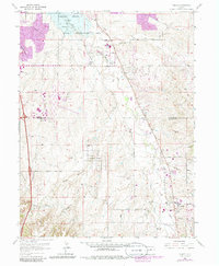
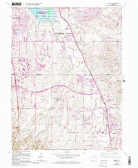
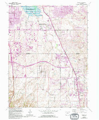
Cherry Creek State Recreation Area dominates the northern landscape of this survey, surrounding the waters of Cherry Creek Lake. The map captures a transitional era for the region, where rural ranching lands and gulches meet emerging residential pockets. The settlement of Parker is visible in the southeast, situated near the confluence of Sulphur Gulch and Cherry Creek. Nearby, the Arapahoe County Airport and the Radio Tower (KOA) signal the encroaching modern infrastructure of the mid-20th century.
Find a feature on this map
36 named features on this map. Tap any name to fly to it.
Don’t see what you’re looking for? This feature index may not catch every label — zoom into the map to look around manually.
Map Details
Editions of this 1965 Parker Map
7 editions found
Other maps of this area

1890 · East Denver
USGS Topo · 1:125,000

1894 · Castle Rock
USGS Topo · 1:125,000

1913 · Castle Rock
USGS Topo · 1:125,000

1935 · East Denver Nos. 3 and 4
USGS Topo · 1:48,000

1939 · Coal Creek
USGS Topo · 1:24,000

1939 · Elizabeth
USGS Topo · 1:62,500

1940 · Englewood
USGS Topo · 1:31,680

1940 · Piney Creek
USGS Topo · 1:24,000

1940 · Castle Rock
USGS Topo · 1:62,500

1941 · Fitzsimons
USGS Topo · 1:31,680