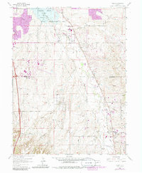
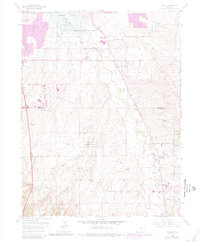
1965 Map of Parker
USGS Topo · Published 1986About this map
Cherry Creek Lake and the surrounding Cherry Creek State Recreation Area anchor the northern reaches of this Colorado landscape, as urban expansion begins to bridge the gap between Greenwood Village and the town of Parker. The map illustrates a transitional period in the mid-1960s, where traditional drainage patterns like Happy Canyon, Sulphur Gulch, and Newlin Gulch define the topography before widespread residential development. Major infrastructure including the Arapahoe County Airport and the emerging Aurora boundary line signal the region's shift toward a suburban corridor. Notable local landmarks like Smoky Hill provide a sense of the original terrain along the Arapahoe and Douglas County line, while early residential clusters like Grandview Estates appear amidst a network of rural routes such as Orchard Road and Arapahoe Road.
Find a feature on this map
27 named features on this map. Tap any name to fly to it.
Don’t see what you’re looking for? This feature index may not catch every label — zoom into the map to look around manually.
Map Details
Editions of this 1965 Parker Map
7 editions found
Other maps of this area

1890 · East Denver
USGS Topo · 1:125,000

1894 · Castle Rock
USGS Topo · 1:125,000

1913 · Castle Rock
USGS Topo · 1:125,000

1935 · East Denver Nos. 3 and 4
USGS Topo · 1:48,000

1939 · Coal Creek
USGS Topo · 1:24,000

1939 · Elizabeth
USGS Topo · 1:62,500

1940 · Englewood
USGS Topo · 1:31,680

1940 · Piney Creek
USGS Topo · 1:24,000

1940 · Castle Rock
USGS Topo · 1:62,500

1941 · Fitzsimons
USGS Topo · 1:31,680