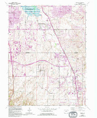
1965 Map of Parker
USGS Topo · Published 1994About this map
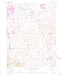
The town of Parker serves as the focal point for this survey, showcasing a period of significant suburban expansion along the Cherry Creek corridor. While the original 1964 data anchors the landscape, extensive 1988 revisions reveal the rapid transformation of Douglas and Arapahoe counties. New residential developments like Cottonwood, Stonegate, and Grandview Estates have emerged across the high plains, replacing open rangeland with structured neighborhoods.
Find a feature on this map
52 named features on this map. Tap any name to fly to it.
Don’t see what you’re looking for? This feature index may not catch every label — zoom into the map to look around manually.
Map Details
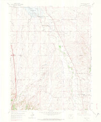
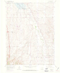
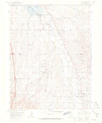
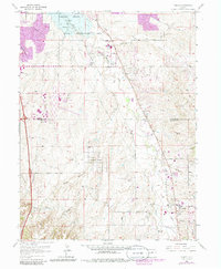
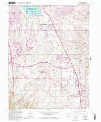
Editions of this 1965 Parker Map
7 editions found
Other maps of this area

1890 · East Denver
USGS Topo · 1:125,000

1894 · Castle Rock
USGS Topo · 1:125,000

1913 · Castle Rock
USGS Topo · 1:125,000

1935 · East Denver Nos. 3 and 4
USGS Topo · 1:48,000

1939 · Coal Creek
USGS Topo · 1:24,000

1939 · Elizabeth
USGS Topo · 1:62,500

1940 · Englewood
USGS Topo · 1:31,680

1940 · Piney Creek
USGS Topo · 1:24,000

1940 · Castle Rock
USGS Topo · 1:62,500

1941 · Fitzsimons
USGS Topo · 1:31,680