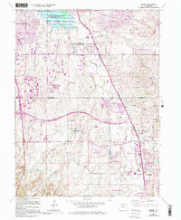
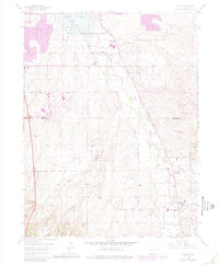
1965 Map of Parker
USGS Topo · Published 1994About this map
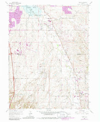
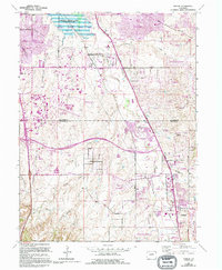
Cherry Creek Lake and the surrounding Cherry Creek State Park dominate the northern landscape of this region during a period of rapid suburban expansion. The 1994 revisions, highlighted in purple, document the sprawling residential growth of Parker and neighboring communities like Stonegate and Grandview Estates. This era marks the transition of the high plains from open rangeland into a complex network of schools and recreational facilities, including the Salisbury Equestrian Center and multiple golf courses.
Find a feature on this map
52 named features on this map. Tap any name to fly to it.
Don’t see what you’re looking for? This feature index may not catch every label — zoom into the map to look around manually.
Map Details
Editions of this 1965 Parker Map
7 editions found
Other maps of this area

1890 · East Denver
USGS Topo · 1:125,000

1894 · Castle Rock
USGS Topo · 1:125,000

1913 · Castle Rock
USGS Topo · 1:125,000

1935 · East Denver Nos. 3 and 4
USGS Topo · 1:48,000

1939 · Coal Creek
USGS Topo · 1:24,000

1939 · Elizabeth
USGS Topo · 1:62,500

1940 · Englewood
USGS Topo · 1:31,680

1940 · Piney Creek
USGS Topo · 1:24,000

1940 · Castle Rock
USGS Topo · 1:62,500

1941 · Fitzsimons
USGS Topo · 1:31,680