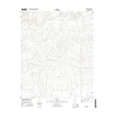
2016 Map of Parker
USGS Topo · Published 2016About this map
Parker and the surrounding rural landscape of Coal County are defined by a complex network of waterways and early twentieth-century burial grounds. The terrain is marked by the winding courses of Caney Boggy Cr, Muddy Boggy Cr, and Sweetwater Cr, which carve through the Oklahoma countryside. For those researching local family history, the map provides precise locations for Pine Cem and McCarty Cem, tucked away off local routes like Pine & Legal Rd and Jennings Rd. The settlement pattern follows a grid of section line roads, including Legal Rd and Glass Rd, which connect remote homesteads to the area's natural landmarks. Salt Creek and Keel Cr dominate the southern reaches of the quadrangle, illustrating the importance of drainage and creek beds in this region's topography.
Find a feature on this map
26 named features on this map. Tap any name to fly to it.
Don’t see what you’re looking for? This feature index may not catch every label — zoom into the map to look around manually.
Map Details
Editions of this 2016 Parker Map
This is the sole edition of this map. No revisions or reprints were ever made.
Other maps of this area

1896 · Coalgate
USGS Topo · 1:125,000

1899 · Coalgate
USGS Topo · 1:125,000

1900 · Coalgate
USGS Topo · 1:125,000

1957 · Coalgate
USGS Topo · 1:24,000

1957 · Coalgate SE
USGS Topo · 1:24,000

1957 · Centrahoma
USGS Topo · 1:24,000

1957 · Tupelo NE
USGS Topo · 1:24,000

1957 · Ardmore
USGS Topo · 1:250,000

1963 · Ardmore
USGS Topo · 1:250,000
1967 · Wardville
USGS Topo · 1:24,000