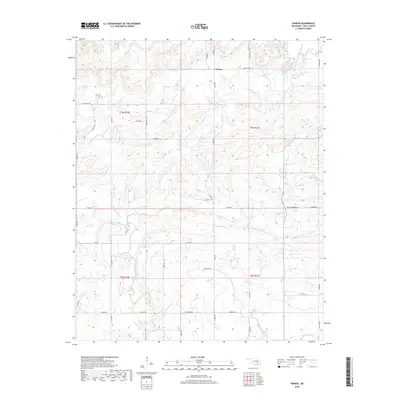
2018 Map of Parker
USGS Topo · Published 2018About this map
Parker serves as the primary landmark in this rural Oklahoma landscape, situated in the northeast corner of the quadrangle. The terrain is defined by a dense network of tributaries, most notably Caney Boggy Cr and Muddy Boggy Cr, which snake through the township lines of Coal County. These watercourses have historically dictated the placement of local roads and property boundaries, as seen in the alignment of routes like Ross Reed Rd and Pine & Legal Rd.
Find a feature on this map
47 named features on this map. Tap any name to fly to it.
Don’t see what you’re looking for? This feature index may not catch every label — zoom into the map to look around manually.
Map Details
Editions of this 2018 Parker Map
This is the sole edition of this map. No revisions or reprints were ever made.
Other maps of this area

1896 · Coalgate
USGS Topo · 1:125,000

1899 · Coalgate
USGS Topo · 1:125,000

1900 · Coalgate
USGS Topo · 1:125,000

1957 · Coalgate
USGS Topo · 1:24,000

1957 · Coalgate SE
USGS Topo · 1:24,000

1957 · Centrahoma
USGS Topo · 1:24,000

1957 · Tupelo NE
USGS Topo · 1:24,000

1957 · Ardmore
USGS Topo · 1:250,000

1963 · Ardmore
USGS Topo · 1:250,000
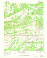
1967 · Wardville
USGS Topo · 1:24,000