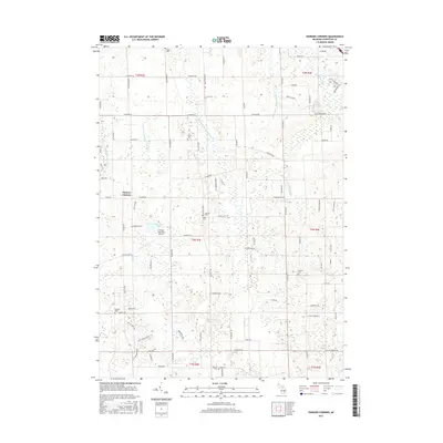
2017 Map of Parkers Corners
USGS Topo · Published 2017About this map
The Red Cedar River and its various tributaries, including the Middle Br Red Cedar River, define the agricultural and residential landscape of this section of Livingston County. Centered on the crossroads of Parkers Corners, the area maintains a rural character dominated by family farms and drainage systems such as the Handy Iosco Drain Number 1 and Iosco Drain Number Three. These engineered waterways reflect the region's long-standing efforts to manage the low-lying wetlands for cultivation.
Find a feature on this map
92 named features on this map. Tap any name to fly to it.
Don’t see what you’re looking for? This feature index may not catch every label — zoom into the map to look around manually.
Map Details
Editions of this 2017 Parkers Corners Map
This is the sole edition of this map. No revisions or reprints were ever made.
Other maps of this area

1902 · Dexter
USGS Topo · 1:62,500

1904 · Ann Arbor
USGS Topo · 1:125,000

1906 · Dexter
USGS Topo · 1:62,500

1907 · Howell
USGS Topo · 1:62,500

1908 · Ann Arbor
USGS Topo · 1:125,000

1908 · Fowlerville
USGS Topo · 1:62,500

1909 · Howell
USGS Topo · 1:62,500

1910 · Fowlerville
USGS Topo · 1:62,500

1919 · Stockbridge
USGS Topo · 1:62,500

1922 · Stockbridge
USGS Topo · 1:62,500