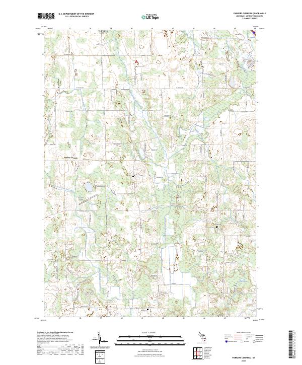
2023 Map of Parkers Corners
USGS Topo · Published 2023About this map
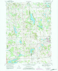
Parkers Corners serves as the focal point of this rural Livingston County landscape, situated where the Middle Branch Red Cedar River and West Branch Red Cedar River begin to define the local drainage patterns. The area is heavily marked by its early agricultural and community foundations, evidenced by a high density of small family or community burial grounds, including Paige Cem, Eisele Cem, and Munsell Cem. These sites, alongside Wright Cem and Harford Cem, provide a clear map of the early pioneer settlement footprint in Iosco and Fowlerville.
Find a feature on this map
90 named features on this map. Tap any name to fly to it.
Don’t see what you’re looking for? This feature index may not catch every label — zoom into the map to look around manually.
Map Details
Editions of this 2023 Parkers Corners Map
This is the sole edition of this map. No revisions or reprints were ever made.
Historical Maps of Iosco Township Through Time
14 maps found
1965 Hamburg
Livingston County, MI
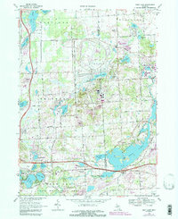
1968 Kent Lake
Livingston County, MI
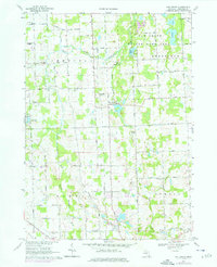
1968 Oak Grove
Livingston County, MI
1968 West Highland
Livingston County, MI
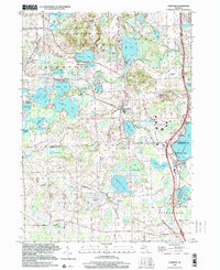
1973 Gregory
Livingston County, MI
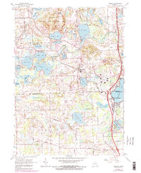
1973 Parkers Corners
Livingston County, MI
1996 Gregory
Livingston County, MI
1996 Hamburg
Livingston County, MI
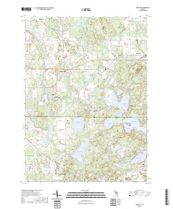
2023 Gregory
Livingston County, MI
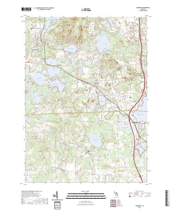
2023 Hamburg
Livingston County, MI
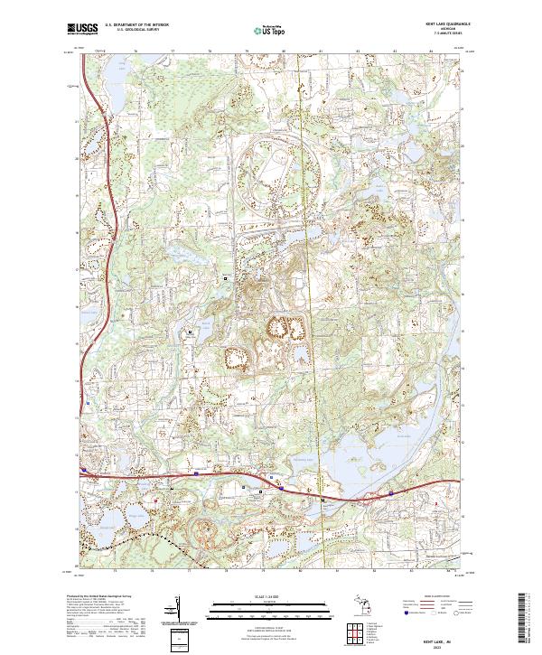
2023 Kent Lake
Livingston County, MI
2023 Oak Grove
Livingston County, MI
2023 Parkers Corners
Livingston County, MI
2023 West Highland
Livingston County, MI