
1904 Map of Parkersburg
USGS Topo · Published 1904About this map
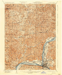
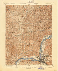
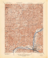
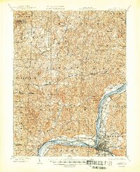
The confluence of the Ohio River and Little Kanawha River serves as the focal point for this early 20th-century survey, anchored by the growing urban footprint of Parkersburg. Across the river, the Ohio shore is dotted with smaller riverside communities such as Belpre and Constitution, while Blennerhassett Island sits prominently in the stream. The geography reflects a complex river-and-rail economy, with multiple divisions of the Baltimore and Ohio R.R. following the banks to serve riverfront commerce.
Find a feature on this map
80 named features on this map. Tap any name to fly to it.
Don’t see what you’re looking for? This feature index may not catch every label — zoom into the map to look around manually.
Map Details
Editions of this 1904 Parkersburg Map
5 editions found
Other maps of this area

1902 · Parkersburg
USGS Topo · 1:62,500

1903 · Macksburg
USGS Topo · 1:62,500

1904 · Marietta
USGS Topo · 1:62,500

1904 · Chesterhill
USGS Topo · 1:62,500

1905 · Macksburg
USGS Topo · 1:62,500

1906 · Elizabeth
USGS Topo · 1:62,500

1906 · Belleville
USGS Topo · 1:62,500

1906 · Chesterhill
USGS Topo · 1:62,500

1907 · Keno
USGS Topo · 1:62,500

1909 · Caldwell
USGS Topo · 1:62,500