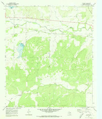
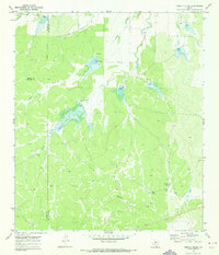
1970 Map of Pasche
USGS Topo · Published 1973About this map
Pasche and its surrounding Concho County rangeland are captured here at the start of the 1970s, characterized by the winding path of Brady Creek and the southern foothills of the Brady Mountains. This area serves as a primary corridor for the Atchison Topeka and Santa Fe railroad, which parallels the creek through the center of the sheet. Genealogical value is found at the Sudduth Cem located near a solitary Well west of the railroad line.
Find a feature on this map
16 named features on this map. Tap any name to fly to it.
Don’t see what you’re looking for? This feature index may not catch every label — zoom into the map to look around manually.
Map Details
Editions of this 1970 Pasche Map
2 editions found
Other maps of this area

1892 · Eden
USGS Topo · 1:125,000

1896 · Eden
USGS Topo · 1:125,000

1931 · Stacy
USGS Topo · 1:62,500

1954 · Brownwood
USGS Topo · 1:250,000

1960 · Melvin
USGS Topo · 1:24,000

1967 · Millersview SE
USGS Topo · 1:24,000
1967 · Salt Gap
USGS Topo · 1:24,000
1967 · Doole SW
USGS Topo · 1:24,000

1970 · Callan
USGS Topo · 1:24,000
1970 · Needle Creek
USGS Topo · 1:24,000