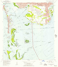
1956 Map of Pass-A-Grille Beach
USGS Topo · Published 1957About this map
Long Key and the southern Pinellas Peninsula define this mid-century coastal landscape, showing the rapid development of the Gulf beaches alongside established mainland neighborhoods. The barrier island is heavily subdivided, featuring the distinct layout of Don Ce-Sar Place and the community of Pass-a-Grille Beach, where the Sunshine Sch served local families. On the mainland, St Petersburg and Gulfport expand around Lake Maggiore and the shores of Boca Ciega Bay.
Find a feature on this map
82 named features on this map. Tap any name to fly to it.
Don’t see what you’re looking for? This feature index may not catch every label — zoom into the map to look around manually.
Map Details
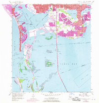
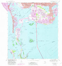
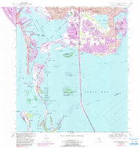
Editions of this 1956 Pass-A-Grille Beach Map
4 editions found
Other maps of this area

1921 · Sand Key
USGS Topo · 1:62,500

1921 · Fort De Soto
USGS Topo · 1:62,500

1921 · St Petersburg
USGS Topo · 1:62,500

1942 · Cockroach Bay
USGS Topo · 1:31,680

1943 · St Petersburg
USGS Topo · 1:31,680

1943 · Pass-A-Grille
USGS Topo · 1:31,680

1943 · Bay Pines
USGS Topo · 1:31,680

1943 · Port Tampa
USGS Topo · 1:31,680

1944 · Egmont Key
USGS Topo · 1:31,680

1944 · Anna Maria
USGS Topo · 1:31,680
Featured Places
- Saint Petersburg, FL
- Gulfport, Saint Petersburg
- Saint Pete Beach, FL
- South Pasadena, FL
- Tierra Verde, FL