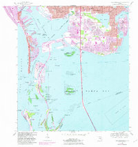
1956 Map of Pass-A-Grille Beach
USGS Topo · Published 1982About this map
The waters of Boca Ciega Bay and Tampa Bay converge in this mid-century survey of the Pinellas coast. The map illustrates a period of significant dredging and development, visible in the intricate canal systems of Boca Ciega Isle and Isla del Sol, while the massive Sunshine Skyway Toll Bridge provides a primary transit link across the southern waters. At the southern tip, Mullet Key is preserved as Fort Desoto County Park, standing in contrast to the dense residential growth seen in St Petersburg and Gulfport. Shoreline morphology is a central theme here, from the natural barrier of Pass-a-Grille Beach on Long Key to the protected islands of the Pinellas National Wildlife Refuge, including Indian Key and Tarpon Key. Local landmarks like Lake Maggiore, the Municipal Pier, and several community schools like Childs Park Sch provide clear anchor points for historical geography and neighborhood research.
Find a feature on this map
122 named features on this map. Tap any name to fly to it.
Don’t see what you’re looking for? This feature index may not catch every label — zoom into the map to look around manually.
Map Details
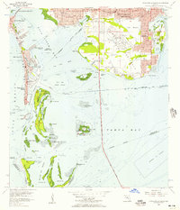
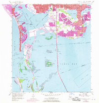
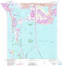
Editions of this 1956 Pass-A-Grille Beach Map
4 editions found
Other maps of this area

1921 · Sand Key
USGS Topo · 1:62,500

1921 · Fort De Soto
USGS Topo · 1:62,500

1921 · St Petersburg
USGS Topo · 1:62,500

1942 · Cockroach Bay
USGS Topo · 1:31,680

1943 · St Petersburg
USGS Topo · 1:31,680

1943 · Pass-A-Grille
USGS Topo · 1:31,680

1943 · Bay Pines
USGS Topo · 1:31,680

1943 · Port Tampa
USGS Topo · 1:31,680

1944 · Egmont Key
USGS Topo · 1:31,680

1944 · Anna Maria
USGS Topo · 1:31,680
Featured Places
- Saint Petersburg, FL
- Gulfport, Saint Petersburg
- Saint Pete Beach, FL
- South Pasadena, FL
- Tierra Verde, FL