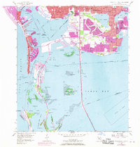
1956 Map of Pass-A-Grille Beach
USGS Topo · Published 1970About this map
The coastal developments of St Petersburg Beach and Pass-a-Grille Beach dominate this late 1960s perspective of the Pinellas County shoreline. The map illustrates a period of significant growth, with extensive finger canals and residential dredging projects reshaping the margins of Boca Ciega Bay and Little Bayou. The Sunshine Skyway Toll Bridge stretches across the open waters of Tampa Bay, connecting the mainland south toward Mullet Key.
Find a feature on this map
75 named features on this map. Tap any name to fly to it.
Don’t see what you’re looking for? This feature index may not catch every label — zoom into the map to look around manually.
Map Details
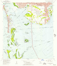
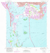
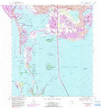
Editions of this 1956 Pass-A-Grille Beach Map
4 editions found
Other maps of this area

1921 · Sand Key
USGS Topo · 1:62,500

1921 · Fort De Soto
USGS Topo · 1:62,500

1921 · St Petersburg
USGS Topo · 1:62,500

1942 · Cockroach Bay
USGS Topo · 1:31,680

1943 · St Petersburg
USGS Topo · 1:31,680

1943 · Pass-A-Grille
USGS Topo · 1:31,680

1943 · Bay Pines
USGS Topo · 1:31,680

1943 · Port Tampa
USGS Topo · 1:31,680

1944 · Egmont Key
USGS Topo · 1:31,680

1944 · Anna Maria
USGS Topo · 1:31,680
Featured Places
- Saint Petersburg, FL
- Gulfport, Saint Petersburg
- Saint Pete Beach, FL
- South Pasadena, FL
- Tierra Verde, FL