
1951 Map of Pathfinder Reservoir NW
USGS Topo · Published 1953About this map
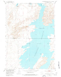
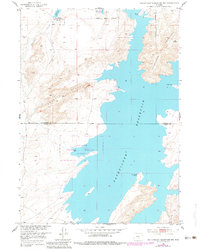
Pathfinder National Wildlife Refuge dominates this Central Wyoming landscape, spanning the high-desert terrain where the Natrona and Carbon County line intersects the waters of the Pathfinder Reservoir. The map illustrates the rugged shoreline of the reservoir, defined by prominent landforms such as Bishop Point and Woolf Point. To the west, the topographic detail captures the steep rise of Granite Ridge, while Pathfinder Mountain stands as a massive landmark to the east. The drainage of Arkansas Creek flows through the northwest corner, feeding into the refuge area. This 1951 field-checked survey provides a clear view of the complex boundary between public wildlife lands and the surrounding terrain before major modern recreational developments altered the shoreline's character.
Find a feature on this map
12 named features on this map. Tap any name to fly to it.
Don’t see what you’re looking for? This feature index may not catch every label — zoom into the map to look around manually.
Map Details
Editions of this 1951 Pathfinder Reservoir NW Map
3 editions found
Other maps of this area

1951 · Benton Basin SW
USGS Topo · 1:24,000

1951 · Benton Basin
USGS Topo · 1:24,000

1951 · Pathfinder Dam
USGS Topo · 1:24,000

1951 · Fort Ridge
USGS Topo · 1:24,000

1953 · Leo
USGS Topo · 1:24,000

1953 · Pathfinder Reservoir SW
USGS Topo · 1:24,000

1953 · Buzzard Ranch
USGS Topo · 1:24,000

1955 · Casper
USGS Topo · 1:250,000

1958 · Casper
USGS Topo · 1:250,000

1959 · Sanford Ranch
USGS Topo · 1:24,000