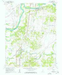
1959 Map of Patoka
USGS Topo · Published 1962About this map
The White River and Patoka River dominate this Southwestern Indiana landscape, where the confluence of major waterways and rail lines shaped the development of Gibson and Knox counties. The Chicago and Eastern Illinois railroad runs north-south through the village of Patoka, connecting it to the larger town of Hazleton near the river's bend. Low-lying river bottomlands are protected by the Brevoort Levee and levee systems, while higher ground like Bald Hill provided stable sites for early rural institutions.
Find a feature on this map
44 named features on this map. Tap any name to fly to it.
Don’t see what you’re looking for? This feature index may not catch every label — zoom into the map to look around manually.
Map Details
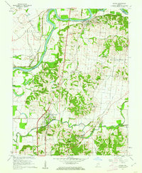
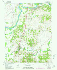
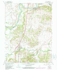
Editions of this 1959 Patoka Map
4 editions found
Other maps of this area

1901 · Princeton
USGS Topo · 1:62,500

1902 · Ditney
USGS Topo · 1:125,000

1903 · Petersburg
USGS Topo · 1:62,500

1903 · Princeton
USGS Topo · 1:62,500

1903 · Patoka
USGS Topo · 1:125,000

1915 · Vincennes
USGS Topo · 1:62,500

1944 · Iona
USGS Topo · 1:24,000

1944 · Vincennes
USGS Topo · 1:62,500

1956 · Vincennes
USGS Topo · 1:250,000

1957 · Vincennes
USGS Topo · 1:250,000