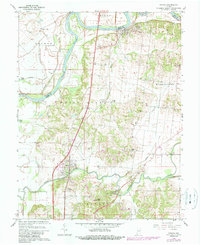
1959 Map of Patoka
USGS Topo · Published 1989About this map
The White River and Patoka River converge in this riverine landscape, defining the local geography and the border between Knox and Gibson Counties. Low-lying floodplains are managed by the substantial Brevoort Levee and Thompson Ditch, allowing for agricultural use despite the proximity to Long Pond. The settlement of Hazleton sits in the north along a high bend of the river, while the town of Patoka anchors the southern portion of the sheet. For those researching local heritage, the map is densely marked with family and community landmarks, including the Decker Chapel Sch and a series of rural burial grounds like Milburn Cem and Hitch Cem. Industrial infrastructure is visible through a Pipeline, a Gas Well, and the Princeton Waterworks near Bald Hill.
Find a feature on this map
37 named features on this map. Tap any name to fly to it.
Don’t see what you’re looking for? This feature index may not catch every label — zoom into the map to look around manually.
Map Details
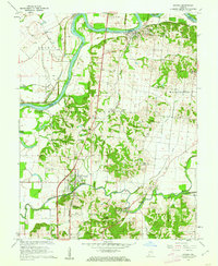
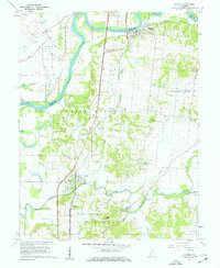
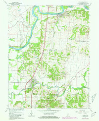
Editions of this 1959 Patoka Map
4 editions found
Other maps of this area

1901 · Princeton
USGS Topo · 1:62,500

1902 · Ditney
USGS Topo · 1:125,000

1903 · Petersburg
USGS Topo · 1:62,500

1903 · Princeton
USGS Topo · 1:62,500

1903 · Patoka
USGS Topo · 1:125,000

1915 · Vincennes
USGS Topo · 1:62,500

1944 · Iona
USGS Topo · 1:24,000

1944 · Vincennes
USGS Topo · 1:62,500

1956 · Vincennes
USGS Topo · 1:250,000

1957 · Vincennes
USGS Topo · 1:250,000