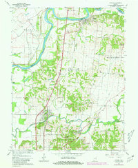
1959 Map of Patoka
USGS Topo · Published 1981About this map
The White River and Patoka River corridors define the landscape of northern Gibson County, where the meandering waterways have historically shaped settlement patterns and land use. Near the river confluence, Hazleton sits along the northern edge of the map, while Patoka and the outskirts of Princeton occupy the southern reaches. The 1959 topography reveal a rural economy dependent on well-maintained drainage systems like Houchins Ditch and Nashville Creek, as well as the Brevoort levee system to manage the flood-prone bottomlands.
Find a feature on this map
47 named features on this map. Tap any name to fly to it.
Don’t see what you’re looking for? This feature index may not catch every label — zoom into the map to look around manually.
Map Details
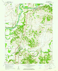
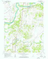
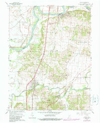
Editions of this 1959 Patoka Map
4 editions found
Other maps of this area

1901 · Princeton
USGS Topo · 1:62,500

1902 · Ditney
USGS Topo · 1:125,000

1903 · Petersburg
USGS Topo · 1:62,500

1903 · Princeton
USGS Topo · 1:62,500

1903 · Patoka
USGS Topo · 1:125,000

1915 · Vincennes
USGS Topo · 1:62,500

1944 · Iona
USGS Topo · 1:24,000

1944 · Vincennes
USGS Topo · 1:62,500

1956 · Vincennes
USGS Topo · 1:250,000

1957 · Vincennes
USGS Topo · 1:250,000