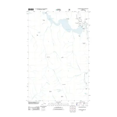
2011 Map of Patricks Basin
USGS Topo · Published 2011About this map
Gibson Reservoir dominates the northern landscape of this wilderness area, held by the prominent Gibson Dam. The surrounding terrain is a network of named drainages and high points, including Elephant Head, Allan Mountain, and Burn Top Mountain. Human activity is concentrated around the reservoir's eastern edge, where Gibson Lake Lodge and the Mortimer Gulch Campground serve those entering the back country.
Find a feature on this map
44 named features on this map. Tap any name to fly to it.
Don’t see what you’re looking for? This feature index may not catch every label — zoom into the map to look around manually.
Map Details
Editions of this 2011 Patricks Basin Map
This is the sole edition of this map. No revisions or reprints were ever made.
Other maps of this area

1903 · Saypo
USGS Topo · 1:125,000

1903 · Coopers Lake
USGS Topo · 1:125,000

1955 · Choteau
USGS Topo · 1:250,000

1957 · Choteau
USGS Topo · 1:250,000

1958 · Choteau
USGS Topo · 1:250,000

1958 · Sawtooth Ridge
USGS Topo · 1:24,000

1958 · Glenn Creek
USGS Topo · 1:24,000

1958 · Pretty Prairie
USGS Topo · 1:24,000

1958 · Patricks Basin
USGS Topo · 1:24,000

1958 · Castle Reef
USGS Topo · 1:24,000