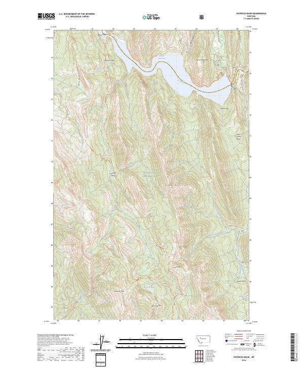
2024 Map of Patricks Basin
USGS Topo · Published 2024About this map
Bob Marshall Wilderness and the Lewis & Clark National Forest dominate this montane landscape, where the Sun River flows into the Gibson Reservoir at the northern edge of the quadrangle. The topography is defined by the high peaks of the Sawtooth Range and the prominent Allan Mtn, with a network of remote pack trails including the North-Fork Sun River Trl and Lange Creek Trl facilitating travel through the high-elevation terrain.
Find a feature on this map
65 named features on this map. Tap any name to fly to it.
Don’t see what you’re looking for? This feature index may not catch every label — zoom into the map to look around manually.
Map Details
Editions of this 2024 Patricks Basin Map
This is the sole edition of this map. No revisions or reprints were ever made.
Other maps of this area

1903 · Saypo
USGS Topo · 1:125,000

1903 · Coopers Lake
USGS Topo · 1:125,000

1955 · Choteau
USGS Topo · 1:250,000

1957 · Choteau
USGS Topo · 1:250,000

1958 · Choteau
USGS Topo · 1:250,000

1958 · Sawtooth Ridge
USGS Topo · 1:24,000

1958 · Glenn Creek
USGS Topo · 1:24,000

1958 · Pretty Prairie
USGS Topo · 1:24,000

1958 · Patricks Basin
USGS Topo · 1:24,000

1958 · Castle Reef
USGS Topo · 1:24,000