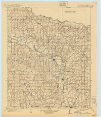
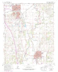
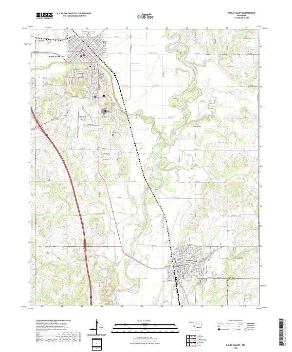
1902 Map of Pauls Valley
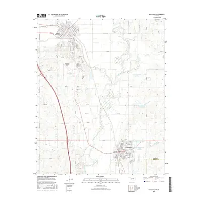
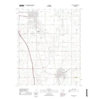
USGS Topo · Published 1939About this map
Pauls Valley and the surrounding Chickasaw Nation are captured here during the final years of the Indian Territory era, shortly before Oklahoma statehood. The Gulf Colorado and Santa Fe railroad serves as the primary artery of commerce and movement, following the winding course of the Washita River through the heart of the region. This survey, conducted in the late 1890s, documents a landscape structured by significant administrative markers, including the Indian Meridian and the Old Indian Territory Boundary along the Canadian River.
Find a feature on this map
51 named features on this map. Tap any name to fly to it.
Don’t see what you’re looking for? This feature index may not catch every label — zoom into the map to look around manually.
Map Details
Editions of this 1902 Pauls Valley Map
5 editions found

Historical Maps of Purcell Through Time
9 maps found

1898 Pauls Valley
Garvin County, OK
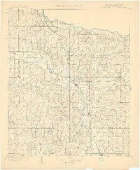
1902 Pauls Valley
Garvin County, OK
1965 Pauls Valley
Garvin County, OK
1986 Pauls Valley
Garvin County, OK
2009 Pauls Valley
Garvin County, OK
2012 Pauls Valley
Garvin County, OK
2016 Pauls Valley
Garvin County, OK
2018 Pauls Valley
Garvin County, OK
2022 Pauls Valley
Garvin County, OK