
1960 Map of Pavonia
USGS Topo · Published 1962About this map
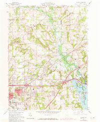
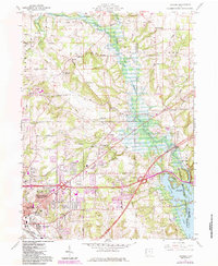
Mansfield expands eastward toward the Muskingum Conservancy District in this early 1960s study of the Richland and Ashland county line. The landscape is defined by the substantial Charles Mill Reservoir, which dominates the eastern half of the map, and the winding course of the Mohican River. While the urban reach of East Mansfield and Wooster Heights is evident in the south, the northern sections remain largely rural, dotted with family-named burial grounds like Smeltzer Cem and Pittenger Cem. Local institutions such as Franklin Ch and Chestnut Grove Ch anchor the surrounding townships of Weller and Mifflin. The infrastructure of the era is clearly marked, featuring the Erie Railroad cutting across the terrain, several gravel pits, and the distinctive recreation area at Fleming Falls.
Find a feature on this map
69 named features on this map. Tap any name to fly to it.
Don’t see what you’re looking for? This feature index may not catch every label — zoom into the map to look around manually.
Map Details
Editions of this 1960 Pavonia Map
3 editions found
Other maps of this area

1908 · Ashland
USGS Topo · 1:62,500

1912 · Perrysville
USGS Topo · 1:62,500

1915 · Crestline
USGS Topo · 1:62,500

1915 · Perrysville
USGS Topo · 1:62,500

1915 · Shauck
USGS Topo · 1:62,500

1943 · Shauck
USGS Topo · 1:62,500

1943 · Crestline
USGS Topo · 1:62,500

1944 · Perrysville
USGS Topo · 1:62,500

1950 · Marion
USGS Topo · 1:250,000
1960 · Mansfield North
USGS Topo · 1:24,000