Loading...
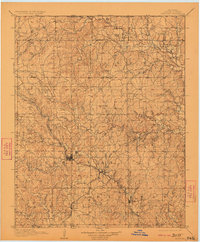
Loading map...1910 Map of Pawhuska
USGS Topo · Published 1923About this map
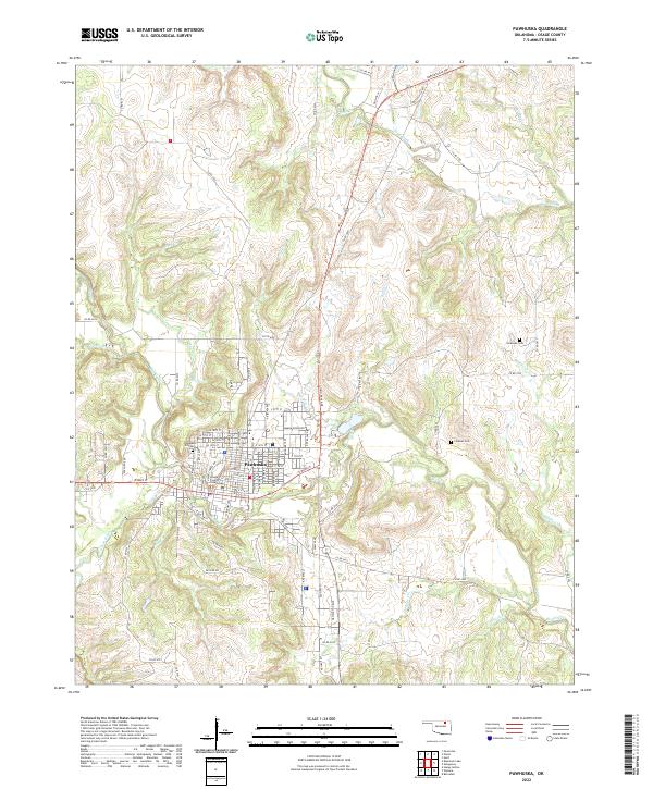
Pawhuska serves as the central hub of this northern Oklahoma territory during a period of significant growth and transition. Surveyed in 1908-1909, the map reveals a landscape defined by its complex drainage systems and the expanding influence of the western railroads. The Midland Valley RR, Missouri Kansas & Texas RR, and Atchison Topeka & Santa Fe RR converge here, facilitating the development of outlying settlements like Nelagoney, Bigheart, and Wynona.
Find a feature on this map
50 named features on this map. Tap any name to fly to it.
Don’t see what you’re looking for? This feature index may not catch every label — zoom into the map to look around manually.
Map Details
Date Portrayed1910
Date Published1923
PublisherU.S. Geological Survey
Map TypeTopographic
Scale1:125,000
Physical Dimensions16.5 x 20 inches
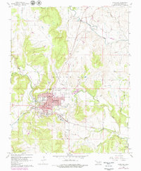
Editions of this 1910 Pawhuska Map
2 editions found

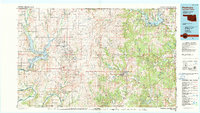
Historical Maps of Bartlesville Through Time
9 maps found

Featured Locations
Source Details
SourceU.S. Geological Survey
CopyrightPublic Domain