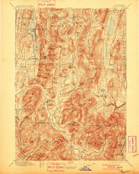
1897 Map of Pawlet
USGS Topo · Published 1901About this map
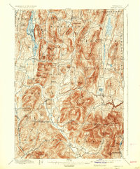
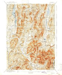
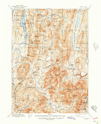
Pawlet and its surrounding hamlets are defined by the narrow valleys of the Mettawee River and Flower Brook, where late nineteenth-century life centered on small-scale agriculture and early industry. The map illustrates a landscape of high peaks and hollows, where family-named landmarks like Haynes Hill and Tadmer Hill mark the rugged divide between the Rutland and Bennington county lines. While the Delaware and Hudson RR skims the western edge, much of the area remains oriented toward crossroads settlements like Brimstone Corners and Spanktown. In the south, the village of Freedleyville sits at the base of Dorset Peak, indicating the era's local quarrying and milling activities. Large water bodies such as St. Catherine Lake and the Tinmouth Channel provide a contrast to the dense contouring of Tinmouth Mountain and Woodlawn Mt.
Find a feature on this map
102 named features on this map. Tap any name to fly to it.
Don’t see what you’re looking for? This feature index may not catch every label — zoom into the map to look around manually.
Map Details
Editions of this 1897 Pawlet Map
8 editions found

Other maps of this area

1891 · Rutland
USGS Topo · 1:62,500

1893 · Wallingford
USGS Topo · 1:62,500

1893 · Rutland
USGS Topo · 1:62,500

1893 · Fort Ann
USGS Topo · 1:62,500

1893 · Whitehall
USGS Topo · 1:62,500

1894 · Londonderry
USGS Topo · 1:62,500

1894 · Pawlet
USGS Topo · 1:62,500

1894 · Equinox
USGS Topo · 1:62,500

1895 · Whitehall
USGS Topo · 1:62,500

1895 · Cambridge
USGS Topo · 1:62,500