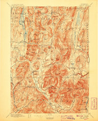
1897 Map of Pawlet
USGS Topo · Published 1906About this map
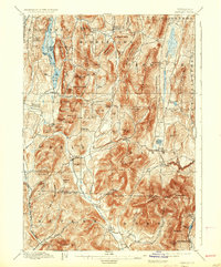
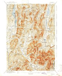
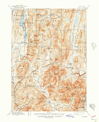
St. Catharine Lake and its surrounding peaks dominate the northwestern corner of this Rutland County landscape, where the Mettawee River valley carves a path through the Taconic Mountains. This late nineteenth-century survey reveals a network of upland villages and valley settlements connected by early rail lines, including the Rutland and Washington R. R. near Rupert. The distribution of hillside farms is evidenced by local landmarks like Orcutt Hill and Tadmer Hill, while the industrial character of the era is preserved in place names like Freedleyville. Distinctive water features such as The Ox Bow and the Tinmouth Channel illustrate the complex drainage patterns of the region's narrow valleys. From the thermal waters of Middletown Springs to the quarries near Dorset, the map details a terrain where geology and early Vermont industry were deeply intertwined.
Find a feature on this map
106 named features on this map. Tap any name to fly to it.
Don’t see what you’re looking for? This feature index may not catch every label — zoom into the map to look around manually.
Map Details
Editions of this 1897 Pawlet Map
8 editions found

Other maps of this area

1891 · Rutland
USGS Topo · 1:62,500

1893 · Wallingford
USGS Topo · 1:62,500

1893 · Rutland
USGS Topo · 1:62,500

1893 · Fort Ann
USGS Topo · 1:62,500

1893 · Whitehall
USGS Topo · 1:62,500

1894 · Londonderry
USGS Topo · 1:62,500

1894 · Pawlet
USGS Topo · 1:62,500

1894 · Equinox
USGS Topo · 1:62,500

1895 · Whitehall
USGS Topo · 1:62,500

1895 · Cambridge
USGS Topo · 1:62,500