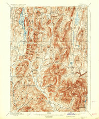
1897 Map of Pawlet
USGS Topo · Published 1937About this map
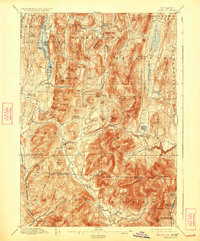
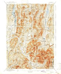
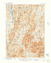
The Mettawee River valley and its surrounding highlands define this late nineteenth-century landscape along the Vermont and New York border. Settlements like Pawlet, Middletown Springs, and Danby appear as established agricultural and small industrial hubs connected by the Rutland and Washington R.R. and the Delaware and Hudson Canal Co. R.R. The map details a complex network of family-named peaks and hollows, such as Coy Mountain and Burnham Hollow, illustrating the local-scale geography of the Taconic range before modern development.
Find a feature on this map
109 named features on this map. Tap any name to fly to it.
Don’t see what you’re looking for? This feature index may not catch every label — zoom into the map to look around manually.
Map Details
Editions of this 1897 Pawlet Map
8 editions found

Other maps of this area

1891 · Rutland
USGS Topo · 1:62,500

1893 · Wallingford
USGS Topo · 1:62,500

1893 · Rutland
USGS Topo · 1:62,500

1893 · Fort Ann
USGS Topo · 1:62,500

1893 · Whitehall
USGS Topo · 1:62,500

1894 · Londonderry
USGS Topo · 1:62,500

1894 · Pawlet
USGS Topo · 1:62,500

1894 · Equinox
USGS Topo · 1:62,500

1895 · Whitehall
USGS Topo · 1:62,500

1895 · Cambridge
USGS Topo · 1:62,500