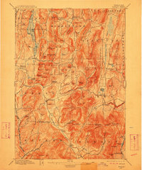
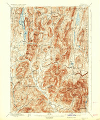
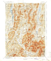
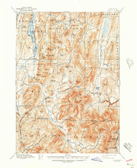
1897 Map of Pawlet
USGS Topo · Published 1912About this map
Middletown Springs and the village of Pawlet serve as primary hubs in this late-19th-century survey of the Vermont-New York borderlands. The landscape is defined by the narrow, fertile valleys of the Mettawee River and Flower Brook, where settlements like East Wells and North Pawlet developed between prominent summits like Moosehorn Mt. and Tinmouth Mountain. Transportation in the region was anchored by the Rutland R. R. and the Delaware and Hudson R. R., which facilitated the movement of goods and people through the rugged terrain of Rutland County.
Find a feature on this map
111 named features on this map. Tap any name to fly to it.
Don’t see what you’re looking for? This feature index may not catch every label — zoom into the map to look around manually.
Map Details
Editions of this 1897 Pawlet Map
8 editions found

Other maps of this area

1891 · Rutland
USGS Topo · 1:62,500

1893 · Wallingford
USGS Topo · 1:62,500

1893 · Rutland
USGS Topo · 1:62,500

1893 · Fort Ann
USGS Topo · 1:62,500

1893 · Whitehall
USGS Topo · 1:62,500

1894 · Londonderry
USGS Topo · 1:62,500

1894 · Pawlet
USGS Topo · 1:62,500

1894 · Equinox
USGS Topo · 1:62,500

1895 · Whitehall
USGS Topo · 1:62,500

1895 · Cambridge
USGS Topo · 1:62,500