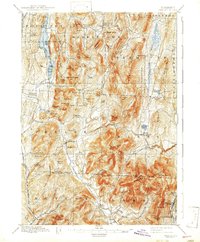
1897 Map of Pawlet
USGS Topo · Published 1943About this map
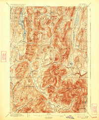
Middletown Springs and the village of Pawlet serve as central hubs in this late nineteenth-century portrait of southwestern Vermont. The landscape is defined by the prominent ridge lines of Tinmouth Mountain and Pond Mountain, which channel the movement of water and commerce through the Mettawee River and Flower Brook valleys. Small rural clusters such as Burnham Hollow and Blossoms Corners indicate the distributed nature of early settlements, while Freedleyville in the south points to localized industrial or resource activity near the Dorset border.
Find a feature on this map
107 named features on this map. Tap any name to fly to it.
Don’t see what you’re looking for? This feature index may not catch every label — zoom into the map to look around manually.
Map Details
Editions of this 1897 Pawlet Map
8 editions found

Other maps of this area

1891 · Rutland
USGS Topo · 1:62,500

1893 · Wallingford
USGS Topo · 1:62,500

1893 · Rutland
USGS Topo · 1:62,500

1893 · Fort Ann
USGS Topo · 1:62,500

1893 · Whitehall
USGS Topo · 1:62,500

1894 · Londonderry
USGS Topo · 1:62,500

1894 · Pawlet
USGS Topo · 1:62,500

1894 · Equinox
USGS Topo · 1:62,500

1895 · Whitehall
USGS Topo · 1:62,500

1895 · Cambridge
USGS Topo · 1:62,500