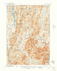
1897 Map of Pawlet
USGS Topo · Published 1943About this map
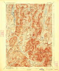
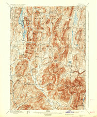
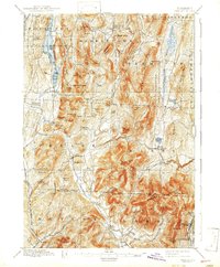
The Mettawee River valley and its surrounding ridges dominate this late 19th-century survey of the Vermont-New York borderlands. In the north, the waters of St. Catherine Lake are framed by St. Catherine Mtn. and Pond Mountain, with the village of Wells situated at the southern outlet. The landscape is a network of small agricultural and milling centers, from the industrial-tinged Freedleyville in the south to the crossroads at Danby Four Corners.
Find a feature on this map
97 named features on this map. Tap any name to fly to it.
Don’t see what you’re looking for? This feature index may not catch every label — zoom into the map to look around manually.
Map Details
Editions of this 1897 Pawlet Map
8 editions found

Other maps of this area

1891 · Rutland
USGS Topo · 1:62,500

1893 · Wallingford
USGS Topo · 1:62,500

1893 · Rutland
USGS Topo · 1:62,500

1893 · Fort Ann
USGS Topo · 1:62,500

1893 · Whitehall
USGS Topo · 1:62,500

1894 · Londonderry
USGS Topo · 1:62,500

1894 · Pawlet
USGS Topo · 1:62,500

1894 · Equinox
USGS Topo · 1:62,500

1895 · Whitehall
USGS Topo · 1:62,500

1895 · Cambridge
USGS Topo · 1:62,500