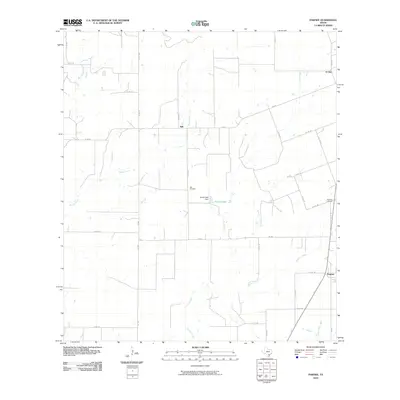
2010 Map of Pawnee
USGS Topo · Published 2010About this map
Nell and Pawnee anchor this rural Texas landscape where agriculture and creek systems define the local geography. The area is intersected by a network of farm-to-market roads and county routes, including FM 882 and Co RD 254, which link scattered homesteads and ranches. Water management is evident through the Arnold Lake Dam and the various tributaries such as Weedy Creek, Sulphur Creek, and Elm Creek that drain the territory. For those researching local family history, the map identifies key burial grounds like Nell Cemetery and Pawnee Cemetery, situated near their namesake settlements. The small community of El Oso sits in the northeast corner, illustrating the sparse but organized settlement pattern of Live Oak County during this era. The terrain is marked by gentle drainage basins and a clearly defined road grid that reflects the region's enduring ranching and farming heritage.
Find a feature on this map
40 named features on this map. Tap any name to fly to it.
Don’t see what you’re looking for? This feature index may not catch every label — zoom into the map to look around manually.
Map Details
Editions of this 2010 Pawnee Map
This is the sole edition of this map. No revisions or reprints were ever made.
Other maps of this area

1931 · Falls City
USGS Topo · 1:62,500

1936 · Pettus
USGS Topo · 1:62,500

1953 · Crystal City
USGS Topo · 1:250,000

1953 · Beeville
USGS Topo · 1:250,000

1955 · Crystal City
USGS Topo · 1:250,000

1956 · Suniland
USGS Topo · 1:62,500

1956 · Beeville
USGS Topo · 1:250,000

1956 · Pettus
USGS Topo · 1:62,500

1956 · Karnes City
USGS Topo · 1:62,500

1960 · Beeville
USGS Topo · 1:250,000