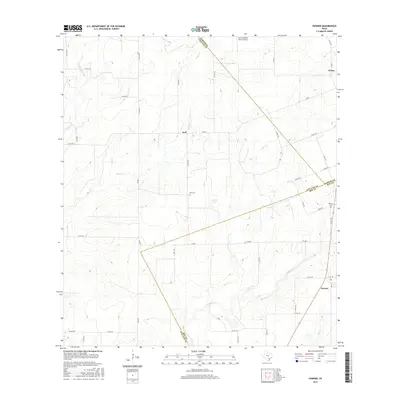
2016 Map of Pawnee
USGS Topo · Published 2016About this map
The South Texas ranching landscape at the intersection of Karnes, Live Oak, and Bee Counties is defined by its seasonal drainage networks and scattered agricultural hubs. Nell and Pawnee serve as the primary focal points for this region, with local genealogy interests centered on the Nell Cem and Pawnee Cem. The terrain is shaped by several prominent watercourses, including Weedy Cr, Elm Cr, and Sulphur Cr, which carve through the plains. Transportation in the mid-2010s relied on a grid of farm-to-market roads and county routes like FM 882 and Co RD 262, while the San Christoval Ranch Airport highlights the vast distances of private ranching operations in this part of Texas. Small reservoirs like Arnold Lake dot the landscape, providing essential water sources for livestock in an area characterized by its intermittent creek systems.
Find a feature on this map
53 named features on this map. Tap any name to fly to it.
Don’t see what you’re looking for? This feature index may not catch every label — zoom into the map to look around manually.
Map Details
Editions of this 2016 Pawnee Map
This is the sole edition of this map. No revisions or reprints were ever made.
Other maps of this area

1931 · Falls City
USGS Topo · 1:62,500

1936 · Pettus
USGS Topo · 1:62,500

1953 · Crystal City
USGS Topo · 1:250,000

1953 · Beeville
USGS Topo · 1:250,000

1955 · Crystal City
USGS Topo · 1:250,000

1956 · Suniland
USGS Topo · 1:62,500

1956 · Beeville
USGS Topo · 1:250,000

1956 · Pettus
USGS Topo · 1:62,500

1956 · Karnes City
USGS Topo · 1:62,500

1960 · Beeville
USGS Topo · 1:250,000