2022 Map of Pawnee
USGS Topo · Published 2022About this map
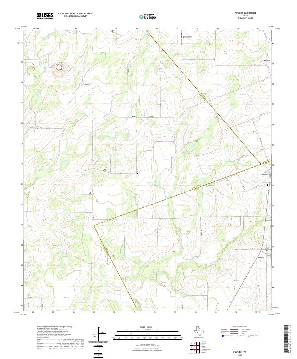
The intersections of Bee, Karnes, and Live Oak Counties define this rural landscape of the South Texas brush country. Settlement is anchored by Pawnee, a community concentrated at the junction of local roads in the southeast, and Nell, located further north along FM 882. The terrain is shaped by a branching drainage system of seasonal waterways, including Weedy Cr, Elm Cr, and Sulphur Cr, which carve shallow paths through the ranching territory. Genealogists will find three distinct burial grounds across the area: Nell Cem, Pawnee Cem, and Our Lady of Guadalupe Cem. Land use remains primarily agricultural and pastoral, punctuated by the San Christoval Ranch Airport and several small water bodies like Arnold Lake. The map reveals a highly developed network of county roads and farm-to-market routes that facilitate movement between these remote Texas outposts.
Find a feature on this map
54 named features on this map. Tap any name to fly to it.
Don’t see what you’re looking for? This feature index may not catch every label — zoom into the map to look around manually.
Map Details
Editions of this 2022 Pawnee Map
This is the sole edition of this map. No revisions or reprints were ever made.