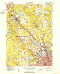
1949 Map of Pawtucket
USGS Topo · Published 1952About this map
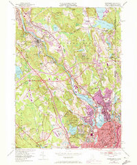
The Blackstone River carves a deep industrial and cultural path through this region, anchoring a string of mill towns including Manville, Albion, and Lonsdale. By the late 1940s, the landscape shows a complex layering of early industrial heritage and mid-century growth, evidenced by the New York New Haven and Hartford railroad tracks paralleling the river's course. Significant local landmarks such as the Cistercian Monastery and Berkeley Airport sit alongside older genealogical sites like St James Cem and Polish Cem. The transition from the dense urban grids of Central Falls and Pawtucket to the wooded hills of the Lincoln Woods Reservation reveals how topography shaped the expansion of these Rhode Island communities. Detailed roadway networks, including the Washington Highway and Louisquisset Pike, indicate the area's increasing connectivity between Providence and the Massachusetts border.
Find a feature on this map
103 named features on this map. Tap any name to fly to it.
Don’t see what you’re looking for? This feature index may not catch every label — zoom into the map to look around manually.
Map Details
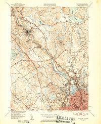
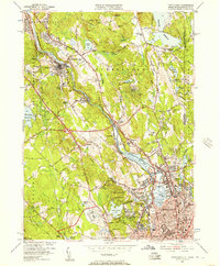
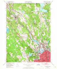
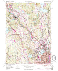
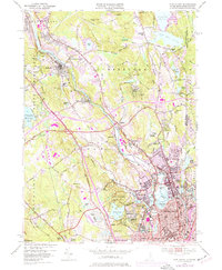
Editions of this 1949 Pawtucket Map
7 editions found
Other maps of this area

1886 · Blackstone
USGS Topo · 1:62,500

1887 · Franklin
USGS Topo · 1:62,500

1887 · Providence
USGS Topo · 1:62,500

1889 · Providence
USGS Topo · 1:62,500

1889 · Blackstone
USGS Topo · 1:62,500

1889 · Franklin
USGS Topo · 1:62,500

1889 · Burrillville
USGS Topo · 1:62,500

1893 · Franklin
USGS Topo · 1:62,500

1893 · Blackstone
USGS Topo · 1:62,500

1894 · Burrillville
USGS Topo · 1:62,500