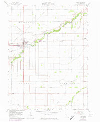
1960 Map of Payne
USGS Topo · Published 1974About this map
Payne serves as the primary hub of this Northwest Ohio landscape, situated at the intersection of critical regional drainage and transport lines. The Norfolk and Western railroad corridor bisects the town, connecting it to smaller outlying communities like Worstville and Briceton. This survey shows a meticulously organized agricultural grid within Harrison, Paulding, Benton, and Blue Creek townships, where family history is anchored by several rural burying grounds including Snellenbarger, Wiltsie, Lehman, and Dealey cemeteries.
Find a feature on this map
23 named features on this map. Tap any name to fly to it.
Don’t see what you’re looking for? This feature index may not catch every label — zoom into the map to look around manually.
Map Details
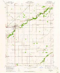
Editions of this 1960 Payne Map
2 editions found
Other maps of this area

1914 · Van Wert
USGS Topo · 1:62,500

1914 · Paulding
USGS Topo · 1:62,500

1944 · Van Wert
USGS Topo · 1:62,500

1944 · Paulding
USGS Topo · 1:62,500

1953 · Fort Wayne
USGS Topo · 1:250,000

1953 · Muncie
USGS Topo · 1:250,000

1956 · Muncie
USGS Topo · 1:250,000

1956 · Fort Wayne
USGS Topo · 1:250,000

1958 · Woodburn North
USGS Topo · 1:24,000

1958 · Woodburn South
USGS Topo · 1:24,000