
1958 Map of Pea Ridge
USGS Topo · Published 1959About this map
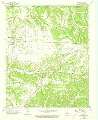
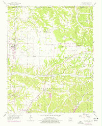
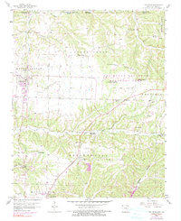
The Pea Ridge Battlefield dominates the northeast quadrant of this mid-century survey, centered on the landmark Elkhorn Tavern. This landscape in northern Benton County preserves the intricate relationship between the Civil War site and the developing 1950s infrastructure of Pea Ridge and Avoca. The terrain is defined by the steep ridges of Elkhorn Mountain and Roller Ridge, which are bisected by numerous small drainages like Sugar Creek and Little Sugar Creek.
Find a feature on this map
46 named features on this map. Tap any name to fly to it.
Don’t see what you’re looking for? This feature index may not catch every label — zoom into the map to look around manually.
Map Details
Editions of this 1958 Pea Ridge Map
4 editions found
Other maps of this area

1899 · Fayetteville
USGS Topo · 1:125,000

1900 · Eureka Springs
USGS Topo · 1:125,000

1901 · Eureka Springs
USGS Topo · 1:125,000

1901 · Fayetteville
USGS Topo · 1:125,000

1904 · Fayetteville
USGS Topo · 1:125,000

1937 · Cassville
USGS Topo · 1:48,000

1941 · Rocky Comfort
USGS Topo · 1:62,500

1943 · Rocky Comfort
USGS Topo · 1:62,500

1944 · Cassville
USGS Topo · 1:62,500

1945 · Harrison
USGS Topo · 1:250,000