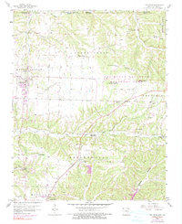
1958 Map of Pea Ridge
USGS Topo · Published 1990About this map
Pea Ridge Battlefield dominates the central landscape of this Benton County survey, providing a detailed look at the grounds where Civil War history remains etched into the topography. The preservation of Elkhorn Tavern and Round Mountain within the Pea Ridge National Military Park highlights the intersection of nineteenth-century military movements and the local rural infrastructure. To the west, the settlement of Pea Ridge serves as a focal point, while the smaller community of Twelve Corners and its associated Twelve Corners Ch mark the transition toward the Missouri border.
Find a feature on this map
57 named features on this map. Tap any name to fly to it.
Don’t see what you’re looking for? This feature index may not catch every label — zoom into the map to look around manually.
Map Details
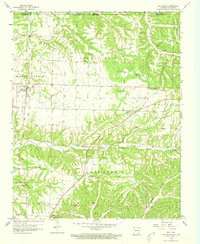
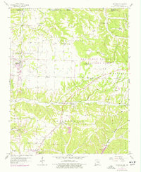
Editions of this 1958 Pea Ridge Map
4 editions found

Other maps of this area

1899 · Fayetteville
USGS Topo · 1:125,000

1900 · Eureka Springs
USGS Topo · 1:125,000

1901 · Eureka Springs
USGS Topo · 1:125,000

1901 · Fayetteville
USGS Topo · 1:125,000

1904 · Fayetteville
USGS Topo · 1:125,000

1937 · Cassville
USGS Topo · 1:48,000

1941 · Rocky Comfort
USGS Topo · 1:62,500

1943 · Rocky Comfort
USGS Topo · 1:62,500

1944 · Cassville
USGS Topo · 1:62,500

1945 · Harrison
USGS Topo · 1:250,000