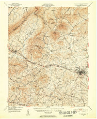
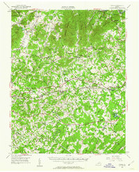
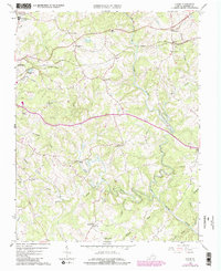
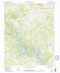
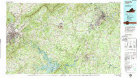
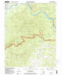
1950 Map of Peaks of Otter
USGS Topo · Published 1952This historical map portrays the area of Peaks of Otter in 1950, primarily covering Bedford as well as portions of Botetourt County. Featuring a scale of 1:62500, this map provides a highly detailed snapshot of the terrain, roads, buildings, counties, and historical landmarks in the Peaks of Otter region at the time. Published in 1952, it is one of 5 known editions of this map due to revisions or reprints.
Find a feature on this map
97 named features on this map. Tap any name to fly to it.
Don’t see what you’re looking for? This feature index may not catch every label — zoom into the map to look around manually.
Map Details
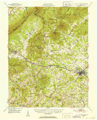
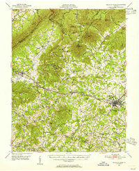
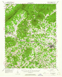
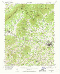
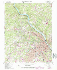
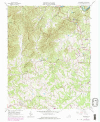
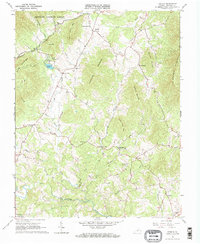
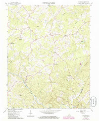
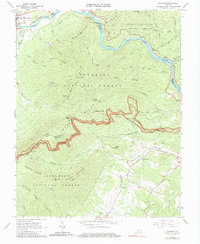
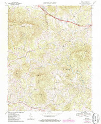
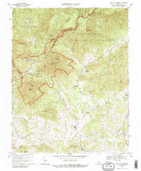
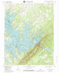
Editions of this 1950 Peaks of Otter Map
5 editions found
Historical Maps of Bunker Hill Through Time
17 maps found
1950 Goode
Bedford County, VA
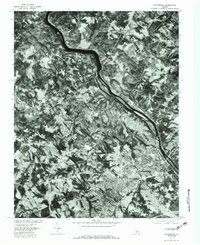
1950 Peaks of Otter
Bedford County, VA
1963 Lynchburg
Bedford County, VA
1965 Boonsboro
Bedford County, VA
1965 Goode
Bedford County, VA
1965 Sedalia
Bedford County, VA
1966 Huddleston
Bedford County, VA
1966 Snowden
Bedford County, VA
1967 Goodview
Bedford County, VA
1967 Irving
Bedford County, VA
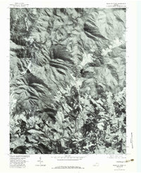
1967 Peaks Of Otter
Bedford County, VA
1967 Smith Mountain Dam
Bedford County, VA
1977 Lynchburg
Bedford County, VA
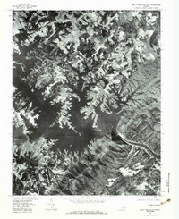
1977 Peaks of Otter
Bedford County, VA
1977 Smith Mountain Dam
Bedford County, VA
1985 Roanoke
Bedford County, VA
1999 Snowden
Bedford County, VA