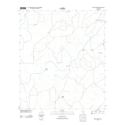
2012 Map of Pecan Springs
USGS Topo · Published 2012About this map
The San Saba River defines this portion of the Texas Hill Country, carving a winding path through Central Texas ranch lands. In this recent survey, the landscape is characterized by dispersed cattle operations and water management features essential for livestock. Notable family-named sites such as Sorrell Ranch and Campbell Ranch anchor the rural infrastructure, while various mechanical landmarks like Sorrell Windmill, New Windmill, and Indian Mound Windmill appear across the terrain.
Find a feature on this map
26 named features on this map. Tap any name to fly to it.
Don’t see what you’re looking for? This feature index may not catch every label — zoom into the map to look around manually.
Map Details
Editions of this 2012 Pecan Springs Map
This is the sole edition of this map. No revisions or reprints were ever made.
Other maps of this area

1885 · San Saba
USGS Topo · 1:125,000

1887 · Llano
USGS Topo · 1:125,000

1887 · Mason
USGS Topo · 1:125,000

1894 · Brady
USGS Topo · 1:125,000

1894 · Mason
USGS Topo · 1:125,000

1894 · San Saba
USGS Topo · 1:125,000

1894 · Llano
USGS Topo · 1:125,000

1904 · Llano
USGS Topo · 1:125,000

1909 · Llano
USGS Topo · 1:125,000

1918 · Llano
USGS Topo · 1:125,000