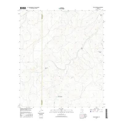
2016 Map of Pecan Springs
USGS Topo · Published 2016About this map
Pecan Springs sits at the southern edge of this West Texas landscape, where the boundary between McCulloch and San Saba counties follows a strictly north-south line across the terrain. The central geographic feature is the meandering San Saba River, which carves a path through the limestone-dominated country, creating distinct landforms such as the prominent Horseshoe Bend and several deeply cut drainage features like Indian Hollow and Long Valley Hollow. To the north, Brady Creek flows eastward, while the presence of Sycamore Springs indicates the subterranean water systems typical of this part of the Edwards Plateau. Transportation in the mid-2010s relied on a network of county routes, including Co RD 364 and Deep Creek RD, serving a sparsely populated area characterized by ranching operations, such as the one supported by the Deep Creek Ranch Airport.
Find a feature on this map
20 named features on this map. Tap any name to fly to it.
Don’t see what you’re looking for? This feature index may not catch every label — zoom into the map to look around manually.
Map Details
Editions of this 2016 Pecan Springs Map
This is the sole edition of this map. No revisions or reprints were ever made.
Other maps of this area

1885 · San Saba
USGS Topo · 1:125,000

1887 · Llano
USGS Topo · 1:125,000

1887 · Mason
USGS Topo · 1:125,000

1894 · Brady
USGS Topo · 1:125,000

1894 · Mason
USGS Topo · 1:125,000

1894 · San Saba
USGS Topo · 1:125,000

1894 · Llano
USGS Topo · 1:125,000

1904 · Llano
USGS Topo · 1:125,000

1909 · Llano
USGS Topo · 1:125,000

1918 · Llano
USGS Topo · 1:125,000