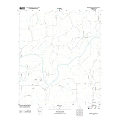
2012 Map of Pedernales Falls
USGS Topo · Published 2012About this map
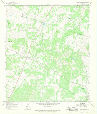
The Pedernales River carves a deep path through this portion of Blanco County, highlighted by the striking Pedernales Falls. The landscape is defined by the drainage of Cottonwood Cr and Miller Cr into the main river, creating a network of ridges and low-lying areas such as Russell Hollow and Brock Hollow. Rural settlement patterns are characterized by expansive ranch lands and community gathering points like the Robinson Community Hall near the junction of Yeager Creek RD and Windy Hill RD.
Find a feature on this map
45 named features on this map. Tap any name to fly to it.
Don’t see what you’re looking for? This feature index may not catch every label — zoom into the map to look around manually.
Map Details
Editions of this 2012 Pedernales Falls Map
This is the sole edition of this map. No revisions or reprints were ever made.
Other maps of this area

1887 · Blanco
USGS Topo · 1:125,000

1894 · Blanco
USGS Topo · 1:125,000

1954 · Llano
USGS Topo · 1:250,000

1955 · Llano
USGS Topo · 1:250,000

1956 · Llano
USGS Topo · 1:250,000
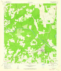
1961 · Johnson City
USGS Topo · 1:24,000

1963 · Yeager Creek
USGS Topo · 1:24,000
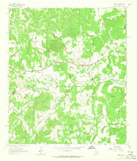
1963 · Henly
USGS Topo · 1:24,000
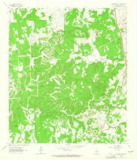
1963 · Monument Hill
USGS Topo · 1:24,000
1967 · Round Mountain
USGS Topo · 1:24,000