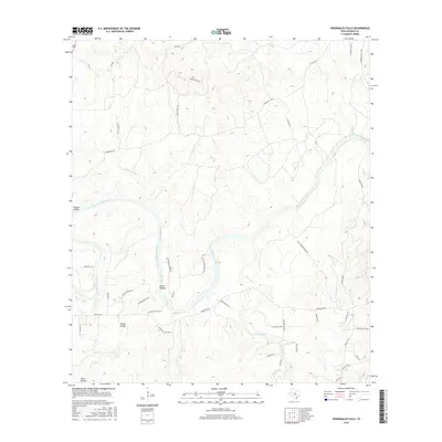
2016 Map of Pedernales Falls
USGS Topo · Published 2016About this map
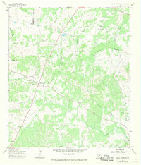
The Pedernales River carves a deep path through the Texas Hill Country, defining the landscape and providing the central point for the namesake Pedernales Falls in Blanco County. This 2016 survey highlights a region dominated by ranching estates and rugged drainage features, with numerous private roads such as Baird Ranch Rd and Polly Miller Ranch Rd serving the interior acreage. Several prominent hollows, including Russell Hollow, Brock Hollow, and the settlement area of Rough Hollow, indicate the deeply eroded limestone topography characteristic of the Edwards Plateau.
Find a feature on this map
44 named features on this map. Tap any name to fly to it.
Don’t see what you’re looking for? This feature index may not catch every label — zoom into the map to look around manually.
Map Details
Editions of this 2016 Pedernales Falls Map
This is the sole edition of this map. No revisions or reprints were ever made.
Other maps of this area

1887 · Blanco
USGS Topo · 1:125,000

1894 · Blanco
USGS Topo · 1:125,000

1954 · Llano
USGS Topo · 1:250,000

1955 · Llano
USGS Topo · 1:250,000

1956 · Llano
USGS Topo · 1:250,000
1961 · Johnson City
USGS Topo · 1:24,000

1963 · Yeager Creek
USGS Topo · 1:24,000
1963 · Henly
USGS Topo · 1:24,000
1963 · Monument Hill
USGS Topo · 1:24,000
1967 · Round Mountain
USGS Topo · 1:24,000