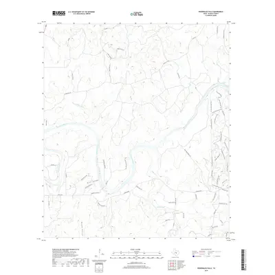
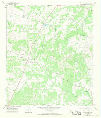
2019 Map of Pedernales Falls
USGS Topo · Published 2019About this map
The Pedernales River carves a winding path through this portion of Blanco County, highlighted by the dramatic natural landmark of Pedernales Falls. The landscape is defined by its drainage patterns, with significant features like Brock Hollow, Rough Hollow, and Russell Hollow cutting through the Pedernales Hills. This terrain has influenced the development of a dense recreational trail system, including the N Loop Equestrian Trail, S Loop Equestrian Trail, and Juniper Ridge Trail, which navigate the elevation changes near the riverbanks.
Find a feature on this map
50 named features on this map. Tap any name to fly to it.
Don’t see what you’re looking for? This feature index may not catch every label — zoom into the map to look around manually.
Map Details
Editions of this 2019 Pedernales Falls Map
This is the sole edition of this map. No revisions or reprints were ever made.
Other maps of this area

1887 · Blanco
USGS Topo · 1:125,000

1894 · Blanco
USGS Topo · 1:125,000

1954 · Llano
USGS Topo · 1:250,000

1955 · Llano
USGS Topo · 1:250,000

1956 · Llano
USGS Topo · 1:250,000
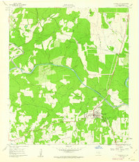
1961 · Johnson City
USGS Topo · 1:24,000

1963 · Yeager Creek
USGS Topo · 1:24,000
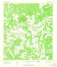
1963 · Henly
USGS Topo · 1:24,000
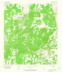
1963 · Monument Hill
USGS Topo · 1:24,000
1967 · Round Mountain
USGS Topo · 1:24,000