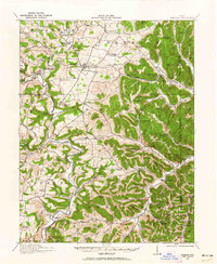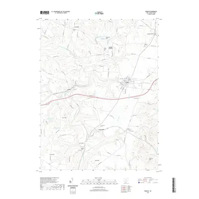
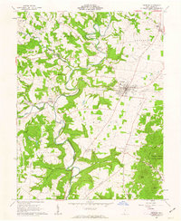
1961 Map of Peebles
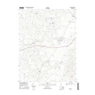
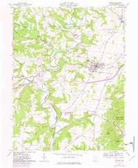
USGS Topo · Published 1975About this map
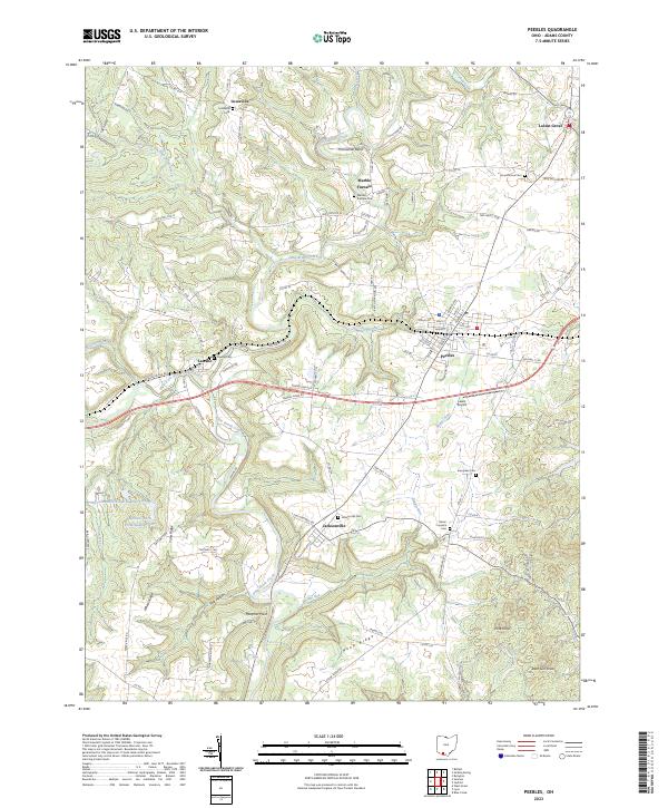
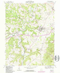
Peebles serves as the primary hub for this portion of Adams County, situated at the junction of the Norfolk and Western railroad and several state routes. The landscape is defined by the winding course of Ohio Brush Creek and its many tributaries, including Shimer Run and Plum Run. This survey captures the transition from agricultural bottomlands to the protected timberlands of the Brush Creek State Forest and the Tranquility State Wildlife Area. Cultural markers of the area's 19th-century industrial past are evident at Marble Furnace and the Steam Furnace Cem, while the small settlements of Locust Grove, Lawshe, and Jacksonville represent the scattered rural communities that survived into the late 20th century. High points like Pine Knob and Deer Lick Knob overlook a terrain increasingly shaped by infrastructure, including a prominent Drive-in Theater near the village and multiple quarries.
Find a feature on this map
52 named features on this map. Tap any name to fly to it.
Don’t see what you’re looking for? This feature index may not catch every label — zoom into the map to look around manually.
Map Details
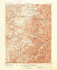
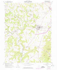
Editions of this 1961 Peebles Map
4 editions found
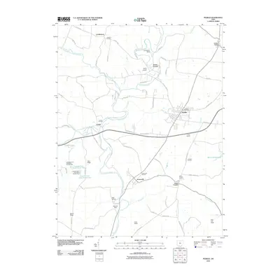
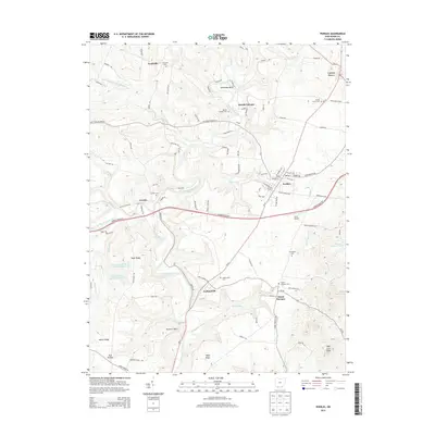
Historical Maps of Peebles Through Time
8 maps found