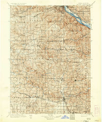
1901 Map of Peosta
USGS Topo · Published 1936About this map
The Mississippi River corridor and the deeply dissected uplands of eastern Iowa define this late 19th-century landscape. This survey, conducted by R.C. McKinney and W.J. Peters, reveals a dense network of early settlements and rural post offices across Dubuque, Jackson, and Jones counties. Concentrated nodes of activity appear at places like St.Donatus, known for its distinctive cultural heritage, and the religious community at Melleray. The drainage of the Maquoketa River and Whitewater Creek dictates the placement of early industry, with Clay Mills and Washington Mills established along these vital watercourses.
Find a feature on this map
96 named features on this map. Tap any name to fly to it.
Don’t see what you’re looking for? This feature index may not catch every label — zoom into the map to look around manually.
Map Details
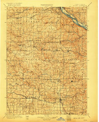
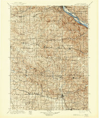
Editions of this 1901 Peosta Map
4 editions found

Other maps of this area

1889 · Tipton
USGS Topo · 1:62,500

1890 · Tipton
USGS Topo · 1:62,500

1891 · DeWitt
USGS Topo · 1:62,500

1891 · Monticello
USGS Topo · 1:62,500

1891 · Maquoketa
USGS Topo · 1:62,500

1891 · Baldwin
USGS Topo · 1:62,500

1892 · Wheatland
USGS Topo · 1:62,500

1892 · Goose Lake
USGS Topo · 1:62,500

1894 · Wheatland
USGS Topo · 1:62,500

1894 · Goose Lake
USGS Topo · 1:62,500