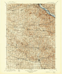
1901 Map of Peosta
USGS Topo · Published 1944About this map
The Mississippi River forms a dominant eastern border for this late 19th-century landscape, where river commerce and multiple major railroads converged. The Illinois Central and Chicago Great Western lines cut across the rolling Dubuque County hills, connecting established settlements like Epworth and Peosta to the riverfront at East Dubuque. Prominent natural landmarks such as Table Mound and Crabb Hill rise above a dense network of river valleys, including the Maquoketa River and Catfish Creek.
Find a feature on this map
91 named features on this map. Tap any name to fly to it.
Don’t see what you’re looking for? This feature index may not catch every label — zoom into the map to look around manually.
Map Details
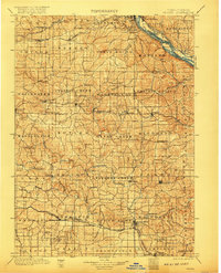
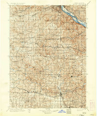
Editions of this 1901 Peosta Map
4 editions found

Other maps of this area

1889 · Tipton
USGS Topo · 1:62,500

1890 · Tipton
USGS Topo · 1:62,500

1891 · DeWitt
USGS Topo · 1:62,500

1891 · Monticello
USGS Topo · 1:62,500

1891 · Maquoketa
USGS Topo · 1:62,500

1891 · Baldwin
USGS Topo · 1:62,500

1892 · Wheatland
USGS Topo · 1:62,500

1892 · Goose Lake
USGS Topo · 1:62,500

1894 · Wheatland
USGS Topo · 1:62,500

1894 · Goose Lake
USGS Topo · 1:62,500