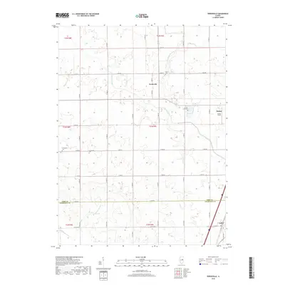
2018 Map of Perdueville
USGS Topo · Published 2018About this map
Perdueville and the surrounding prairie of Ford Co and Champaign Co define this agricultural landscape during the late 2010s. The terrain is notably etched by a complex network of man-made waterways like the Big Four Ditch and Wall Town-Drainage Ditch, reflecting the intensive land-reclamation efforts required to sustain the region's farming economy. These straight-line channels contrast with the more natural meanderings of the Hillsbury Slough to the south.
Find a feature on this map
36 named features on this map. Tap any name to fly to it.
Don’t see what you’re looking for? This feature index may not catch every label — zoom into the map to look around manually.
Map Details
Editions of this 2018 Perdueville Map
This is the sole edition of this map. No revisions or reprints were ever made.
Other maps of this area

1924 · Paxton
USGS Topo · 1:62,500

1927 · Paxton
USGS Topo · 1:62,500

1928 · Gibson City
USGS Topo · 1:62,500

1947 · Sibley
USGS Topo · 1:62,500

1948 · Buckley
USGS Topo · 1:62,500

1949 · Buckley
USGS Topo · 1:62,500

1949 · Paxton
USGS Topo · 1:62,500

1949 · Sibley
USGS Topo · 1:62,500

1957 · Paxton
USGS Topo · 1:62,500

1957 · Gibson City
USGS Topo · 1:62,500