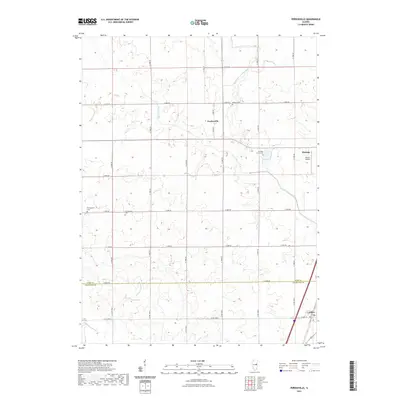
2021 Map of Perdueville
USGS Topo · Published 2021About this map
Perdueville and the western outskirts of Paxton anchor this rural landscape along the boundary of Ford and Champaign Counties. The terrain is defined by a systematic network of agricultural water management, including the Big Four Ditch, Wall-Town Drainage Ditch, and the winding Hillsbury Slough. This modern survey documents the persistent grid of section-line roads, such as N 1300 E RD and E 500 N RD, which connect scattered homesteads and significant local landmarks.
Find a feature on this map
34 named features on this map. Tap any name to fly to it.
Don’t see what you’re looking for? This feature index may not catch every label — zoom into the map to look around manually.
Map Details
Editions of this 2021 Perdueville Map
This is the sole edition of this map. No revisions or reprints were ever made.
Other maps of this area

1924 · Paxton
USGS Topo · 1:62,500

1927 · Paxton
USGS Topo · 1:62,500

1928 · Gibson City
USGS Topo · 1:62,500

1947 · Sibley
USGS Topo · 1:62,500

1948 · Buckley
USGS Topo · 1:62,500

1949 · Buckley
USGS Topo · 1:62,500

1949 · Paxton
USGS Topo · 1:62,500

1949 · Sibley
USGS Topo · 1:62,500

1957 · Paxton
USGS Topo · 1:62,500

1957 · Gibson City
USGS Topo · 1:62,500