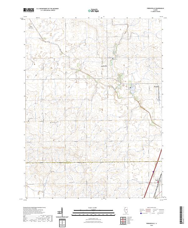
2024 Map of Perdueville
USGS Topo · Published 2024About this map
Perdueville and its surrounding agricultural landscape are defined by a grid-like network of rural roads and drainage infrastructure at the border of Ford and Champaign Counties. This 2024 survey illustrates how the flat prairie terrain has been meticulously managed through features like the Big Four Ditch and the Wall Town Drainage Ditch. The distribution of local landmarks suggests a history of small, dispersed communities, marked by several country burial grounds including Meharry Cem, Pontoppidan Cem, and the Ten Mile Grove Cem.
Find a feature on this map
35 named features on this map. Tap any name to fly to it.
Don’t see what you’re looking for? This feature index may not catch every label — zoom into the map to look around manually.
Map Details
Editions of this 2024 Perdueville Map
This is the sole edition of this map. No revisions or reprints were ever made.
Other maps of this area

1924 · Paxton
USGS Topo · 1:62,500

1927 · Paxton
USGS Topo · 1:62,500

1928 · Gibson City
USGS Topo · 1:62,500

1947 · Sibley
USGS Topo · 1:62,500

1948 · Buckley
USGS Topo · 1:62,500

1949 · Buckley
USGS Topo · 1:62,500

1949 · Paxton
USGS Topo · 1:62,500

1949 · Sibley
USGS Topo · 1:62,500

1957 · Paxton
USGS Topo · 1:62,500

1957 · Gibson City
USGS Topo · 1:62,500