Loading...
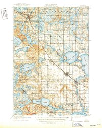
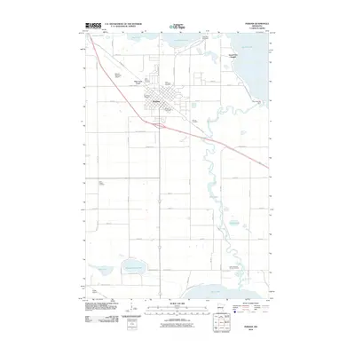
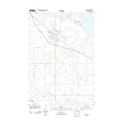
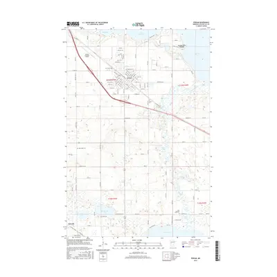
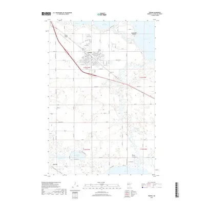
Loading map...1915 Map of Perham
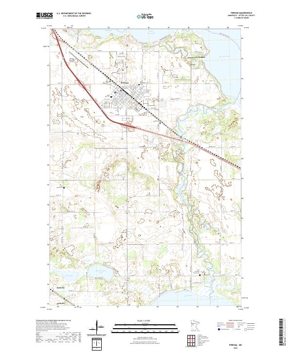
USGS Topo · Published 1949About this map
Perham serves as the primary hub of this glaciated landscape in the years before the First World War, situated where the Northern Pacific RR cuts through the lake country of Edna and Gorman townships. The map illustrates a transitional era of settlement, where the rail-side growth of Frazee and Richville contrasts with a dense network of rural one-room schoolhouses, such as School No 85 and Finlayson School, that anchored agricultural life.
Find a feature on this map
80 named features on this map. Tap any name to fly to it.
Don’t see what you’re looking for? This feature index may not catch every label — zoom into the map to look around manually.
Map Details
Date Portrayed1915
Date Published1949
PublisherU.S. Geological Survey
Map TypeTopographic
Scale1:62,500
Physical Dimensions16.46 x 20.71 inches
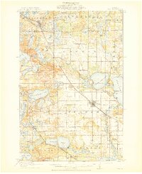
Editions of this 1915 Perham Map
3 editions found
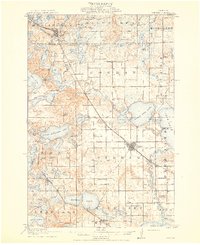
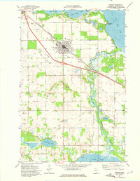
Historical Maps of Perham Through Time
7 maps found
Featured Locations
Source Details
SourceU.S. Geological Survey
CopyrightPublic Domain