
1909 Map of Perkins
USGS Topo · Published 1909About this map
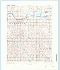
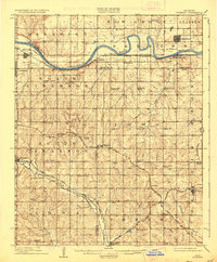
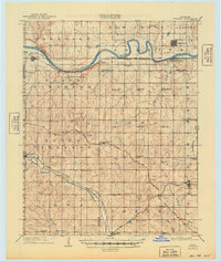
The Cimarron River winds through this central Oklahoma landscape at the end of the territorial era, serving as a geographic anchor for a dense network of early rural settlements and schools. Towns like Perkins, Coyle, and Langston are established along the river and the emerging rail lines, including the Atchison Topeka and Santa Fe RR and its Eastern Oklahoma Branch. The map reveals a remarkably active educational landscape, documenting dozens of named rural schools such as Eagle College School, Cotton Belt School, and Independence School which served the farming townships of Paradise and Iowa.
Find a feature on this map
72 named features on this map. Tap any name to fly to it.
Don’t see what you’re looking for? This feature index may not catch every label — zoom into the map to look around manually.
Map Details
Editions of this 1909 Perkins Map
4 editions found
Other maps of this area

1892 · Guthrie
USGS Topo · 1:62,500

1892 · Edmond
USGS Topo · 1:62,500

1893 · Mulhall
USGS Topo · 1:62,500

1893 · Stillwater
USGS Topo · 1:62,500

1905 · Chandler
USGS Topo · 1:62,500

1907 · Chandler
USGS Topo · 1:62,500

1908 · Agra
USGS Topo · 1:62,500

1909 · Luther
USGS Topo · 1:62,500

1929 · Ripley
USGS Topo · 1:62,500

1932 · Ripley
USGS Topo · 1:62,500