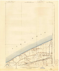
1905 Map of Perry
USGS Topo · Published 1943About this map
Lake Erie defines the northern reaches of this Lake County landscape, where the shoreline meets a complex corridor of early 20th-century transportation. The map reveals a highly developed infrastructure of competing rail lines, including the Lake Shore and Michigan Southern, the New York Chicago and St Louis RR, and the Lake Shore Electric RR, all running parallel to the coast through Painesville and Madison.
Find a feature on this map
23 named features on this map. Tap any name to fly to it.
Don’t see what you’re looking for? This feature index may not catch every label — zoom into the map to look around manually.
Map Details
Editions of this 1905 Perry Map
This is the sole edition of this map. No revisions or reprints were ever made.
Other maps of this area
1904 · Chardon
USGS Topo · 1:62,500
1905 · Ashtabula
USGS Topo · 1:62,500
1905 · Jefferson
USGS Topo · 1:62,500
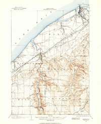
1905 · Mentor
USGS Topo · 1:62,500
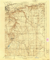
1906 · Chardon
USGS Topo · 1:62,500
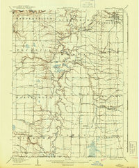
1907 · Jefferson
USGS Topo · 1:62,500
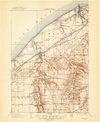
1907 · Mentor
USGS Topo · 1:62,500

1950 · Cleveland
USGS Topo · 1:250,000
1950 · Erie
USGS Topo · 1:250,000
1953 · Mentor
USGS Topo · 1:24,000